Tropical Low 28U (28S)
Here’s the latest data for TL 28U.
Intensity: tropical low, sustained winds near the centre of 65 kilometres per hour with wind gusts to 95 kilometres per hour.
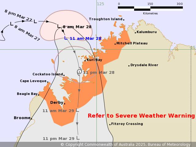
Location: within 55 kilometres of 14.5 degrees South, 123.7 degrees East , 140 kilometres northwest of Kuri Bay and 315 kilometres north of Derby .
Movement: east southeast at 13 kilometres per hour.
Track:
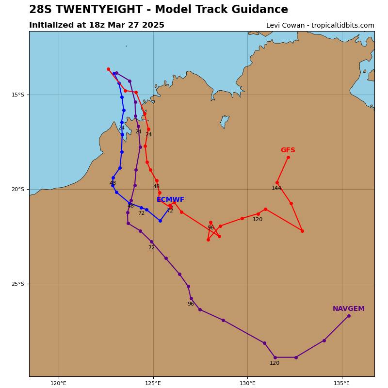
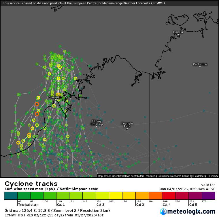
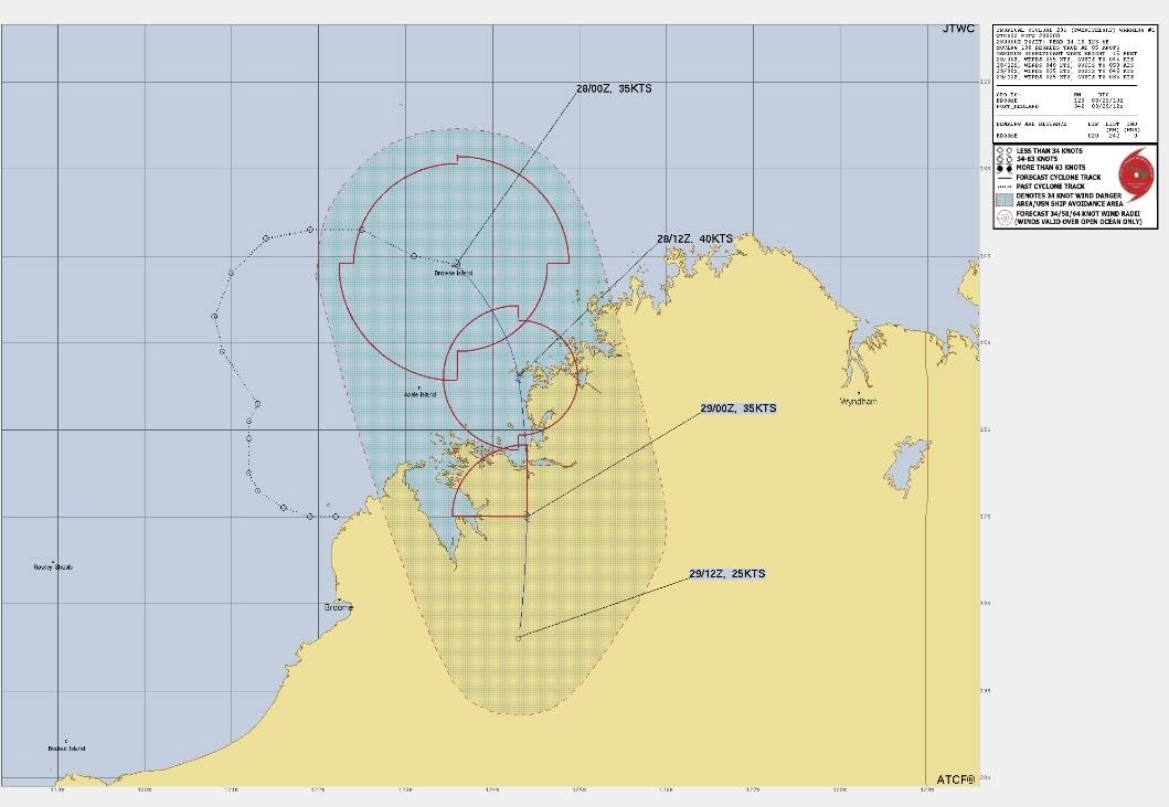
Track data hasn’t changed much. It’s still expected to cross between Kurri Bay and Cockatoo Island then track directly south for a day or two. Unlike the east coast lows, Western coast lows are generally easier to forecast. Cones of error are also typically smaller. TL 28U is no different. It’s longer term track is uncertain so will watch that. Some models are hinting at it becoming a feature over QLD and bringing more rain inland but its too far out to be certain at this stage.
Intensity:
BoM have given it a high chance (55%) of intensifying in to a cat 1 Cyclone strength, however models are not reflecting that. JTWC also have to strengthening to Cat 1. So I’ll keep watching the track maps and observations. It’s a bit of a strange situation. So I’ll see how it tracks. I feel we will find out by the next track map release as to what’s happening. The wind speeds have reached Cyclone over about half of the storm, to be classified as a proper Cyclone, winds need to be at or above Cyclone strength (64kph +) around at least 3 quarters of the storms core. Unless that happens, it will remain classified as a Tropical Low.
This happened with Alfred near landfall of the mainland, he had winds of 75kph but only about 1 quarter of the storm saw that wind. So even if 28U doesn’t reach heights Cyclone classified action, it will still have Cyclone strength winds on the back end most likely. So areas around Cockatoo Island and Kurri Bay will see fairly decent gales.
Rainfall:
Rainfall outlooks have remain pretty constant as well, with 300mm expected lose to the systems core.
I may put the radar live, just depends where it finally.tracks as radar coverage at the expected landfall location is not the best.
-Nikko-